Scan-accurate
building services
We capture buildings with high-precision LiDAR scanning and deliver the drawings, models, and reports your project needs — fast, accurate, and ready to use.
Three ways we can
help your project
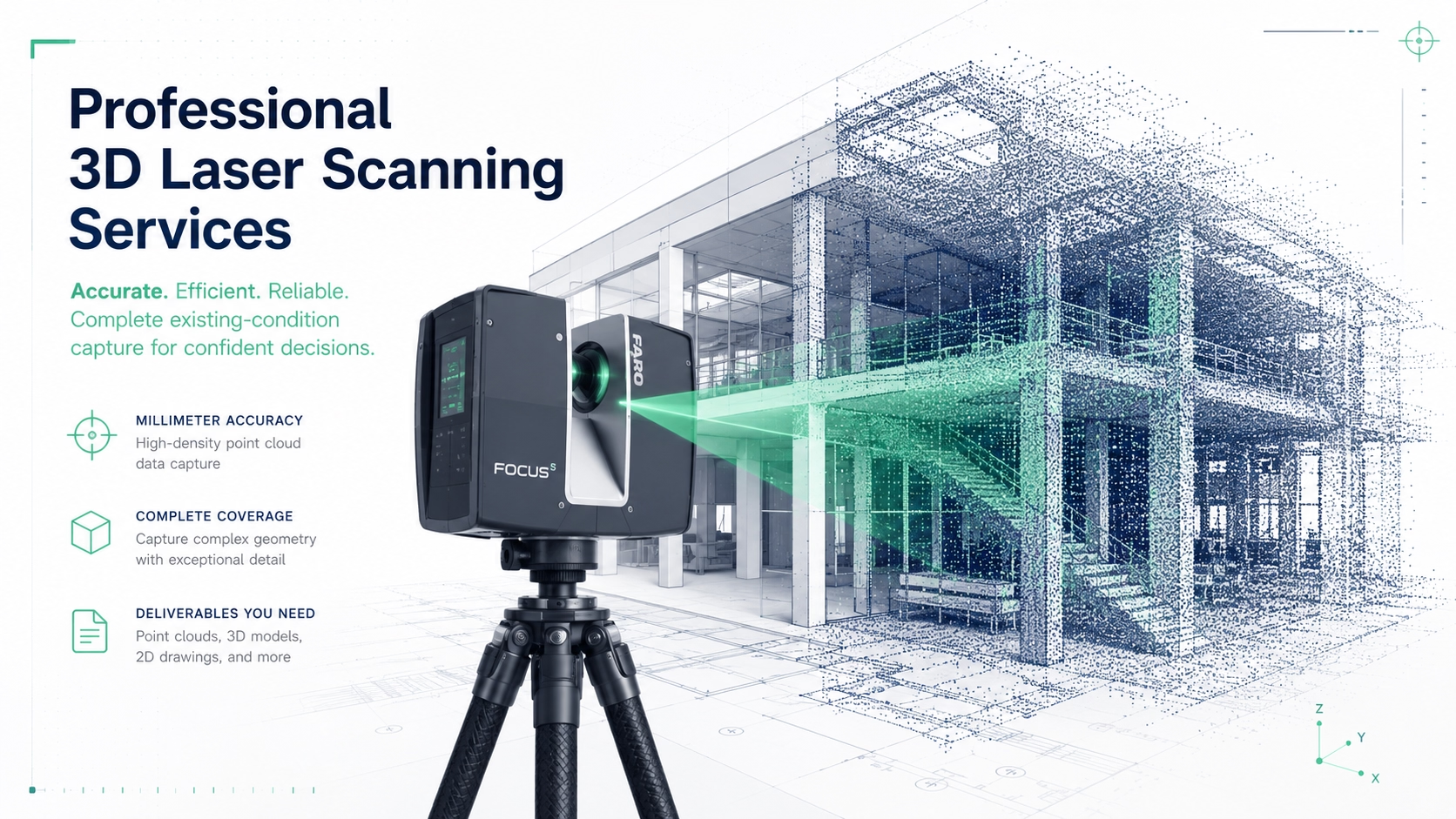
High-accuracy LiDAR capture
for existing conditions
High-accuracy 3D laser scanning for residential, commercial, and industrial spaces, capturing precise existing conditions for CAD drawings, Revit models, and point cloud deliverables.
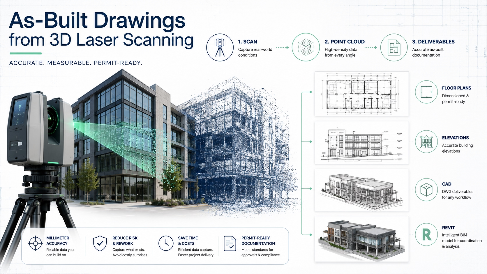
Floor plans, elevations &
sections from laser scan
Accurate floor plans, elevations, reflected ceiling plans, and sections created directly from 3D laser scan data. Delivered in CAD and Revit, permit-ready, within 24–72 hours.
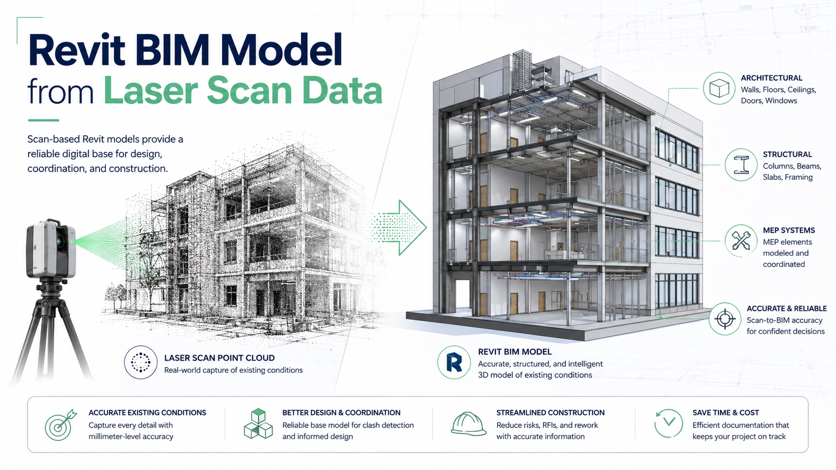
Structured 3D Revit models
built from point cloud
Full existing-condition Revit models at LOD 100–300, built directly from laser scan data. Architectural, structural, and basic MEP elements — clean, well-organized files ready for design and coordination.
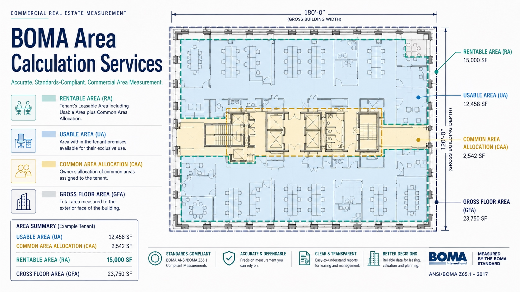
Standards-compliant area
reports for commercial leasing
Rentable, usable, and gross floor area calculations aligned with BOMA guidelines — supported by BOMA-compliant floor plans and clear reports. Essential for commercial leasing, property management, and portfolio documentation.
One process.
Every service.
We confirm access requirements and scope so the scan day runs without delays.
Our technician captures the full building with high-precision 3D laser scanning.
Point cloud data is cleaned and converted into drawings, models, or area reports.
Clean, organized files delivered and ready for immediate use in your workflow.
Accurate data.
Faster decisions.
Every service we offer starts with the same foundation — high-precision LiDAR scanning that captures the exact geometry of your building. That means every drawing, model, and report we produce is based on verified field data, not assumptions.
- check_circleMillimetre-level accuracy from laser scan data
- check_circleFast turnaround — typically 24–72 hours
- check_circleClean, professional deliverables ready to use
- check_circleResidential, commercial, and industrial experience
- check_circleFully insured and standards-compliant
Based in Vancouver.
Working across BC.
We provide laser scanning and documentation services across British Columbia — from Greater Vancouver to Vancouver Island and beyond.