Precision in Practice: Elevating Vancouver Renovations with Leica BLK 360 High‑Definition Surveys

The renovation market in Vancouver, spanning from heritage conversion projects in Kitsilano to high-rise interior modernizations downtown, demands uncompromising precision. In this environment, the margin for error in architectural planning is effectively zero, particularly when navigating strict local zoning bylaws and the rigorous standards set forth by provincial bodies. Consequently, forward-thinking professionals are rapidly adopting modern 3D reality capture solutions. Specifically, the utilization of the Leica BLK 360 series is fundamentally changing how accurate documentation is performed in the region, establishing high-definition 3D scanning in Vancouver as the industry standard for securing seamless, cost-effective, and code-compliant projects.

The Leica BLK 360 is not merely a measuring tool; it is a compact, robust system that captures the physical world with high-resolution 3D panoramic images overlaid onto a high-accuracy point cloud. This process transforms complex, time-consuming manual measurements into a swift, digital, and infinitely reusable data set. The democratization of 3D scanning, pioneered by the BLK 360, makes this professional-grade technology accessible for a wide array of projects, from small residential kitchen remodels to large-scale commercial retrofits.

The imperative for precision in Vancouver renovations

In the architecture, engineering, and construction (AEC) sector, precise data is the foundation of every successful project. For projects involving existing structures—the vast majority of renovation work—the need for accurate "as-built" documentation is paramount. This reality capture approach ensures that architects and designers are working with data that reflects the current, true geometry of the building, rather than outdated or inaccurate blueprints.

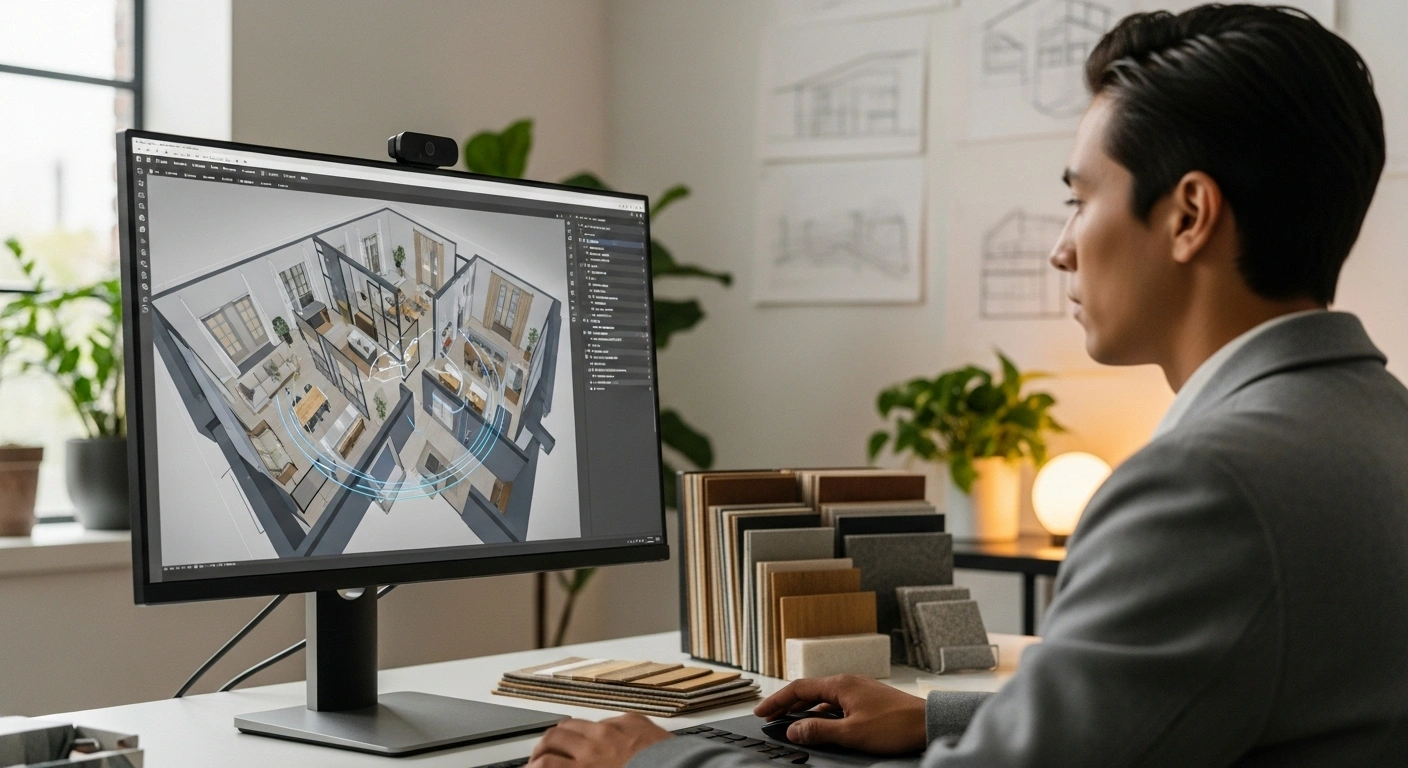
Modern high rise interior space in downtown Vancouver being scanned by Leica BLK 360, showing panoramic HDR image overlay and

The limitations of traditional measurement

Traditional surveying methods often involve measuring tape, laser distance measurers (like the Leica DISTO), and manual notation. While these tools are essential, they are inherently prone to human error and data gaps, especially in the complex, cluttered, or multi-faceted environments typical of older Vancouver properties.

Key disadvantages of manual surveying:

  • Time consumption: manually measuring every angle, wall offset, and ceiling height is extremely time-consuming, often requiring multiple site visits to capture missing data.
  • Data interpretation risk: manual data collection is susceptible to individual interpretation, leading to potential inconsistencies when translating measurements into CAD or BIM models.
  • Lack of context: traditional measurements fail to capture the rich, visual context (like textures, colors, and non-structural details) that 3D scanning provides through high-definition panoramic imagery.

The cost of inaccurate or incomplete initial measurements is significantly high, often resulting in expensive rework, construction delays, and material waste—issues that compromise profitability and client satisfaction. Utilizing modern 3D scanning Vancouver techniques is the direct solution to mitigate these risks.

Meeting BC Building Code and safety standards

While the specific details of the BC Building Code fall outside the technical data provided for the scanner itself, professional-grade precision is the means by which all complex regulatory requirements are met. The millimeter accuracy offered by advanced 3D scanners provides the reliable measurement needed to verify structural clearances, confirm adherence to fire separations, and correctly document load-bearing element positions for engineering review.

For structural and mechanical engineers in Vancouver, the data must be irrefutable. The Leica BLK 360, particularly the newer generation, provides 4 mm accuracy at a distance of 10 m. This geometric correctness ensures that the derived models are exact, avoiding the "rounded edges" often produced by lower-grade scanners. This level of precision is indispensable for creating accurate as-built drawings BC mandates for many large renovation or conversion projects, offering clarity and control in critical processes.

Introducing the powerhouse: Leica BLK 360 technology

Leica Geosystems is renowned in the reality capture space for producing high-grade laser scanners. The BLK 360 series, including the award-winning original G1, the second-generation BLK 360 (G2), and the recently introduced SE edition, are leading this technological wave. These devices harness LiDAR technology to capture millions of individual point measurements—a "point cloud"—in a single XYZ coordinate system.

Speed and accuracy: a game changer

The efficiency of a 3D scanning Vancouver operation is determined by the speed of data acquisition and the reliability of the resulting point cloud. The BLK 360 G2 represents a massive leap forward in these aspects compared to its predecessor (G1) and many competing systems.

  • Point measurement rate: Leica BLK 360 G2 captures up to 680,000 pts/sec (nearly 2x faster than the G1).
  • Rapid capture time: The G2 can capture a full scan with spherical images in just 20 seconds (LDR), compared to approx. 2:50 minutes for the G1.
  • Enhanced precision: The G2 offers 4 mm accuracy at 10m, significantly more precise than the 6 mm offered by the G1.
  • VIS technology: The G2 features the Visual Inertial System (VIS) for automated pre-registration, a feature absent in the G1.

This incredible speed allows users performing an architectural survey Vancouver to complete large job sites much faster. Teams can rapidly move from setup to setup, ensuring minimal interruption to the site or tenants. Furthermore, the G2 utilizes a 4-camera system with 13 megapixels each, capturing 5-bracket HDR spherical images. This high dynamic range imaging is crucial for difficult lighting conditions—such as bright Vancouver sunlight streaming through large windows combined with dark interior shadows.

Portability and ease of use

The BLK 360 is built for mobility, a critical factor for professionals moving frequently between diverse sites across the Lower Mainland.

The second-generation BLK 360 design features:

  • Compact form factor: measuring just 155 mm in height and 80 mm in diameter.
  • Lightweight build: weighing only 0.75 kg (0.85 kg including the battery), a 20% reduction compared to the original.
  • One-button operation: designed to be operated autonomously with a single button, making scanning straightforward and accessible.

This portability allows the scanner to be easily transported and set up in tight spaces, such as crowded mechanical rooms or small residential bathrooms—common constraints in Vancouver renovation projects.
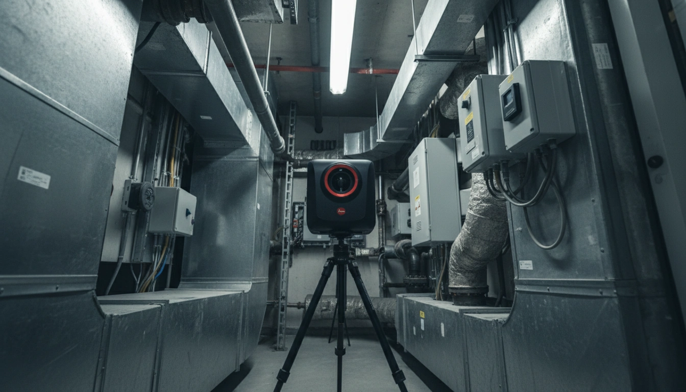
Portable Leica BLK 360 scanner setup in a tight interior space

Leica BLK 360 scanner positioned on a tripod in a tight mechanical room, illustrating its compact size and portability for re

The workflow of modern 3D scanning Vancouver

A critical advantage of utilizing Leica BLK 360 services is the seamless digital workflow, spanning from quick field capture to instant data registration and final export into industry-standard design software.

Field capture with the Leica BLK 360

The scanning process is controlled intuitively via mobile applications, ensuring real-time feedback and quality control directly on site. The scanner can be controlled either autonomously or remotely via a connected mobile device using apps like Leica Cyclone FIELD 360.

The capture process:

  1. 1. Setup: The scanner is mounted on a tripod or placed on a flat surface.
  2. 2. Connection: The device broadcasts its own Wi-Fi signal for real-time data transfer to a smartphone or tablet.
  3. 3. Resolution selection: Users choose preset resolutions (e.g., 6/12/25/50 mm @ 10 m) based on the detail required for the interior laser scanning task.

Real-time registration with VIS technology

For professional firms providing architectural survey Vancouver services, the Visual Inertial System (VIS) in the G2 model is a game changer.

  • VIS explained: It combines video-enhanced inertial measurement units (IMU) and camera tracking to monitor the scanner's movement.
  • Automated alignment: The system tracks where the scanner is located at all times. Each subsequent scan is automatically aligned with the previous one while the operator is still on site.
  • Efficiency: This automation means that 95-97% of scan positions are correctly merged immediately, significantly reducing post-processing time.

Post-processing and deliverables

Once field work is complete, data is transferred via Wi-Fi or USB-C to desktop software like Leica Cyclone REGISTER 360 for final cleaning and verification. The final data is exported in formats essential for collaboration in the AEC industry:

  • E57: A universal, non-proprietary point cloud format.
  • RCP/RCS: Autodesk's native formats for integration into AutoCAD and Revit.
  • LGS: Leica's proprietary lightweight format containing all data and photos.

The finalized model is used to generate high-quality as-built drawings BC firms rely on, including detailed 2D floor plans, 3D BIM models, and digital twins.
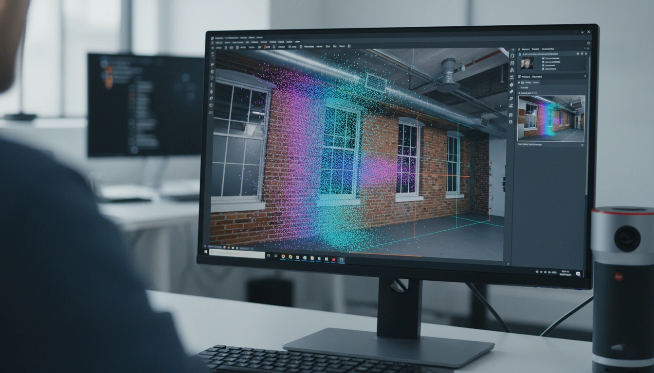
Scan-to-BIM point cloud workflow for Vancouver architecture and renovation projects

High resolution point cloud and HDR spherical imagery captured with Leica BLK 360 being integrated into a BIM model on a comp

Specialized applications for architectural survey Vancouver needs

The versatility and high-definition output of the Leica BLK 360 make it applicable far beyond simple surveys. Its application spans the entire construction lifecycle.

Interior laser scanning: capturing complex spaces

Interior laser scanning presents unique challenges in renovation projects, often involving irregular walls, tight spaces, and complex piping. The BLK 360 is perfectly suited for these environments.

For instance, when documenting conditions for kitchen or bathroom remodeling in Vancouver homes, the BLK 360 captures intricate geometries with the necessary millimeter precision. This detail is critical for bespoke elements such as custom cabinetry, countertop fabrication, and complex HVAC installations.
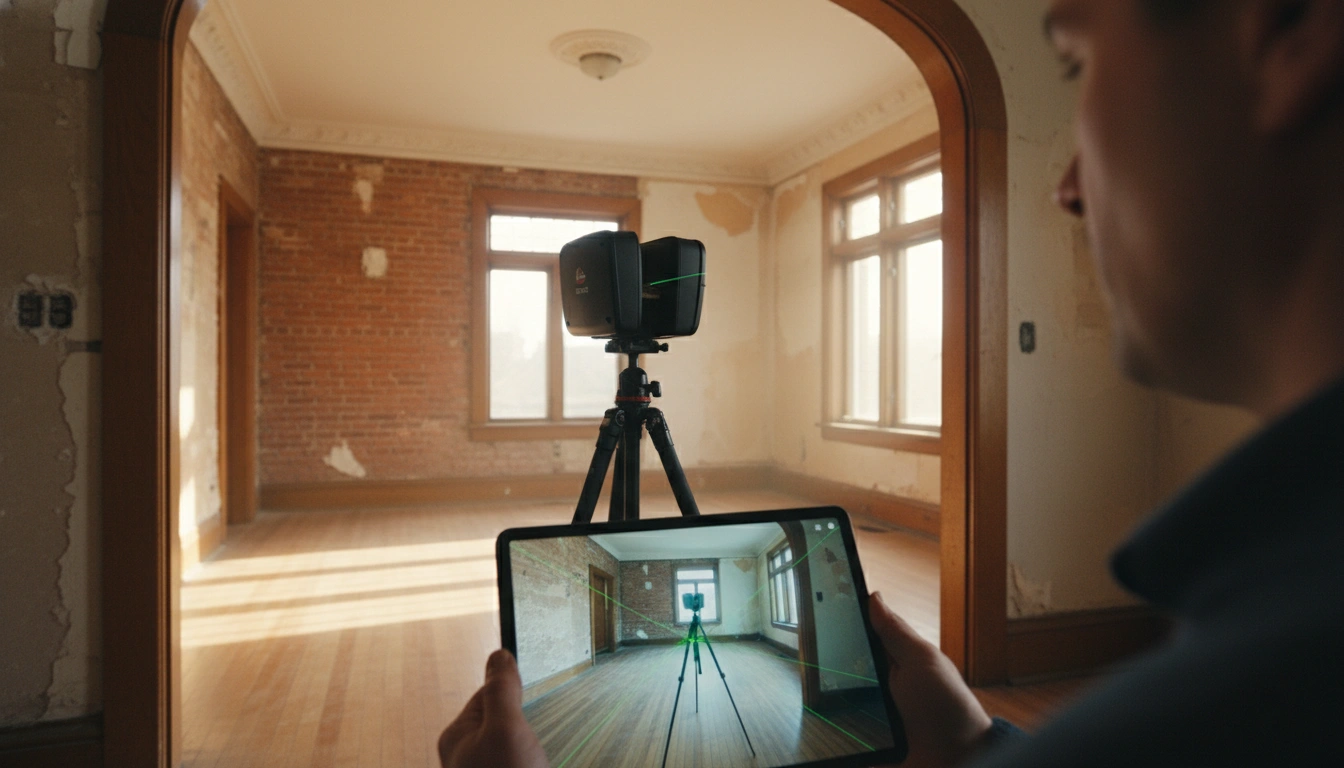
Vancouver home renovation documented with a precise 3D laser scan

Applications beyond as-built documentation

  • Building Information Modeling (BIM): The dense point cloud enables "Scan to BIM," allowing for immediate clash detection and constructability reviews.
  • Historical preservation: The BLK 360 creates precise digital models of heritage sites, ensuring complex architecture is documented for restoration.
  • Virtual Reality (VR): HDR spherical imagery combined with point clouds allows for immersive client presentations and real estate marketing.
  • Progress monitoring: Periodic scanning allows construction managers to monitor progress against the design model, ensuring accuracy and schedule adherence.

Choosing the right Leica BLK 360 model

Leica Geosystems offers highly capable variants in the BLK 360 line. Choosing the right one depends on project size, desired speed, and budget.

BLK 360 G2: the high-end standard for AEC

The G2 model is the definitive choice for high-volume, time-critical, or complex projects.

  • Maximized productivity: The 680,000 pts/sec capture rate and VIS system ensure maximum efficiency.
  • Large projects: Ideally suited for multi-story buildings or large industrial areas where registration time must be minimized.
  • Fastest transfer: Features enhanced Wi-Fi and USB-C 3.0.

BLK 360 SE: precision meets affordability

The SE (Standard Edition) is designed for optimal price-performance for small-to-mid-sized projects.

  • Speed: Captures 340,000 pts/sec (roughly half the speed of the G2).
  • No VIS technology: Registration must be done manually or in office software.
  • Target audience: Ideal for smaller architecture studios or specialized trade contractors (e.g., millworkers) where cost-efficiency outweighs the need for maximum speed.

Conclusion: securing success through advanced reality capture

The rapid adoption of high-precision 3D scanning in Vancouver reflects a clear shift toward digital, data-driven methodology. For the demanding and competitive renovation market, the Leica BLK 360—especially the powerful G2 model—provides the essential tools for success.

Firms that embrace Leica BLK 360 services are investing in reliability, efficiency, and safety. By replacing error-prone manual methods with rapid, millimeter-accurate scanning, architects, interior designers, and contractors can ensure their as-built drawings BC are flawless. This technology transforms the complex task of capturing reality into a simple operation, establishing a solid digital foundation that allows professionals to build with confidence.
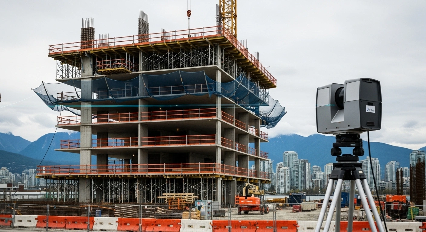
3D Scanning Vancouver: As-Built Measurement Methods

In the dynamic world of architecture, engineering, and construction (AEC), precision is not merely a preference; it is the absolute foundation of success. For property owners planning a significant overhaul or professionals executing a complex commercial retrofit, understanding the current state of a building—its “as-built” condition—is the critical first step. While traditional methods remain foundational, modern reality capture, especially 3d scanning Vancouver, has transformed how we approach accurate floor plans and large-scale home renovation Greater Vancouver projects. Leveraging advanced technology like 3D laser scanners ensures that every dimension, fixture, and structural element is documented with unparalleled accuracy, providing a solid, data-driven starting point for design and renovation planning.

The imperative of precision: why as-built documentation matters

As-built documentation, often referred to as record drawings, is documents that reflect the actual and current condition of a space or building at the time of measurement. These documents are indispensable because they record any deviations or changes made from the original architect’s design, accounting for years of tenant improvements or on-site construction modifications.

Defining “as-built”: beyond blueprints

When a building is completed, the original design blueprints often cease to be a true reflection of reality. Walls may have moved, systems may have been upgraded, and configurations changed. Accurate floor plans and comprehensive as-built records serve as the definitive shared knowledge resource, critical for everything from routine maintenance to major redevelopment.

Key elements captured in high-quality as-built documentation include:

  • size, location, and dimension: precise measurements of spaces and elements.
  • architectural features: walls, door locations, ceiling heights, and intricate details.
  • MEP systems: locations of mechanical, electrical, and plumbing fixtures and systems.
  • structural elements: load-bearing walls and complex structural features.

The cost of imprecision in renovation planning

Inaccurate or outdated documentation is a leading cause of delays, costly errors, and change orders in construction projects. For a significant Greater Vancouver home renovation, starting without precise measurements means risking major clashes—such as discovering a new piping system interferes with existing ventilation—which can waste significant time, frustration, and money.

Whether for commercial or residential projects, reliable data supports better renovation planning and helps project teams identify potential conflicts and errors early in the project lifecycle, facilitating timely adjustments. Investing in meticulous as-built measurement upfront minimizes future risks and provides the clarity and confidence needed for seamless execution.

Regulatory compliance and building permit drawings

In British Columbia, adherence to the BC Building Code and municipal guidelines is non-negotiable for most construction and home renovation Greater Vancouver projects. Accurate floor plans are crucial for securing the necessary building permit drawings.

As-built surveys provide documentation required for:

  • certification of occupancy: following new construction, an as-built survey provides homeowners with a certification of occupancy.
  • municipal compliance: documentation ensures the structure adheres to local regulations and municipal guidelines.
  • detailed submissions: as-built drawings are effective starting points for creating building permit drawings, design, construction drawings, and remodeling plans, which require fresh, up-to-date, and precise measurements.

The legacy methods: from tape measure to theodolite

The evolution of as-built measurement spans decades, moving from purely manual efforts to highly digitized processes. While modern technology dominates, understanding the foundation of these techniques is essential.

Manual measurement and handheld lasers (the foundation)

Traditional measuring techniques are the historical backbone of as-built documentation. These methods rely on physical measurements taken by skilled professionals:

  • tape measures and rulers: time-tested tools, highly dependable for smaller areas, but requiring significant effort and time for complex or large structures.
  • laser distance meters: these handheld devices represent a significant efficiency step up, providing digital distance measurements.

In some workflows, like the classic “ninja” method, surveyors measure and draft on-site using handheld laser distance meters wirelessly tethered to portable CAD workstations. Even modern, high-tech processes often combine reality capture with verified manual measurements for specific features like doors, windows, and ceiling heights to ensure completeness. However, for expansive spaces, relying solely on manual methods risks missing intricate details and sacrificing efficiency compared to modern 3d scanning Vancouver techniques.

Total station surveying: when ground precision is paramount

Total station surveying is a highly specialized method that integrates theodolite (angle measurement) capabilities with electronic distance measurement (EDM).

  • application: it is frequently used in land surveying to accurately measure angles and distances for precise mapping and capturing topographic data.
  • precision: it delivers accurate results, making it highly valuable for exterior site plans and infrastructure projects.

While Total Stations offer superb accuracy, they generally require significant setup and time when used for detailed internal construction documentation or architectural measurement, especially compared to the rapid data collection capabilities of 3D laser scanning services.

The digital revolution: advanced 3d scanning Vancouver technologies

The current industry standard for capturing complex existing conditions has overwhelmingly shifted toward digital reality capture technologies, led by LiDAR and 3D laser scanning. These methods offer ground-level accuracy—sometimes down to the millimeter—while drastically reducing the time and cost associated with field work.

LiDAR scanning: unmatched accuracy and speed

LiDAR (Light Detection and Ranging) scanning is a leading-edge technology that revolutionizes how specialists capture and document existing spaces. In the context of 3d scanning Vancouver, this technology is quickly becoming mandatory for numerous industries, enhancing project accuracy and optimizing renovation planning.

Advantages of LiDAR and 3D laser scanning:

  • precision beyond measure: laser scanning captures millions of measurement points in seconds, creating a high-resolution, detailed 3D representation of the environment. This process ensures intricate details and complex geometrical features are captured precisely.
  • time efficiency: for large and complex projects, the speed of data accumulation saves considerable time compared to traditional methods.
  • comprehensive data: the resulting point cloud data maps every surface and feature of the space, including the structure, pipes, and wires.
  • enhanced safety: experts can collect data safely from a distance, minimizing the need for physical measurements in potentially hazardous or difficult-to-access areas.

The raw output of this technology is detailed point cloud data, which is essential for creating both 2D and 3D as-built documentation. This data forms the reliable foundation for your next project, minimizing errors and streamlining the design process.

3D laser scanning in Vancouver capturing accurate existing building conditions

Photogrammetry and reality capture

Photogrammetry is another reality capture method that involves using high-resolution photographs to create 3D models. Software algorithms analyze multiple images to determine object positions and construct a digital model.

  • method: this technique relies on the quality and overlap of the pictures taken.
  • application: it is often used for creating 3D assets for visual effects in film and media, as well as documenting heritage sites.

While versatile, photogrammetry may not achieve the same level of geometric accuracy and precision required for critical construction documentation in engineering or complex home renovation Greater Vancouver projects, especially compared to advanced laser scanning.

Choosing the right accuracy level for 3d scanning Vancouver

Different projects demand different levels of tolerance. A luxury interior fit-out requires a higher degree of accuracy than a rough industrial site plan. Reputable 3D laser scanning services offer various tolerance requirements, ranging from approximately 1mm accuracy to 10mm accuracy, ensuring the right scanner is deployed for the specific needs of your project.

For interior designers and contractors in Vancouver, the high precision afforded by commercial-grade LiDAR technology is crucial for ensuring that custom cabinetry, mechanical systems, and structural modifications align perfectly, providing peace of mind from the initial scan to the final model delivery.

Transforming data into actionable models: scan to BIM/CAD workflows

The point cloud: the foundation of digital data

The starting point for converting scan data into useful construction documentation is the point cloud. This dense collection of millions of measurement points accurately maps every surface of the space.

The process follows these critical stages:

  • collection: sophisticated 3D laser scanning technology captures accurate measurements and high-quality point cloud data of physical buildings and spaces.
  • data processing: the raw scan data is meticulously cleaned and refined, removing noise and irrelevant elements. This refined data ensures the final models reflect existing conditions with precise measurements.
  • conversion: experts transform the processed point cloud into detailed, editable BIM models or CAD drawings using specialized software.
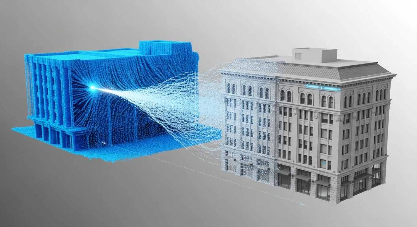
Scan-to-BIM modeling workflow converting point cloud data into a Vancouver building model

Scan to BIM: the interior designer tools and contractor advantage

Scan to BIM is a transformative process central to modern 3d scanning Vancouver services. A BIM model is a comprehensive digital representation of a building’s physical and functional characteristics.

For design and construction professionals, BIM models are invaluable interior designer tools because they:

  • integrate seamlessly: models are compatible with major software platforms, ensuring easy incorporation into ongoing design and construction workflows.
  • facilitate collaboration: BIM serves as a shared knowledge resource, ensuring all stakeholders (architects, engineers, contractors, interior designer tools) have access to accurate, up-to-date information.
  • enable clash detection: detailed models allow project teams to identify potential clashes and costly errors early in the planning phase, such as conflicts between structural and electrical elements.
  • detailing and metadata: models are enhanced with dimensions, specifications, and metadata, preparing them for use in the construction phase or facility management.

For contractors and interior designer tools, the ability to move directly from a point cloud to an intelligent, editable Revit 3D model, accurately reflecting site conditions, saves immense time and allows design teams to focus purely on design and execution.

Interior designer using BIM tools and scan-based building documentation in Vancouver

Delivering accurate floor plans and construction documentation

Whether the final deliverable is a high-resolution 3D model or precise 2D drawings, the result is robust construction documentation. Services offered by experts like MeasureBuilt include a tailored suite of files necessary for any project:

  • 2D as-built floor plans and elevations: capturing precise dimensions and conditions of existing spaces in formats like PDF and DWG.
  • BIM models: intelligent 3D models (e.g., Revit .RVT files) that capture every architectural and structural element.
  • point cloud data: the raw, high-resolution 3D scan data (.rcp, .E57 files) for direct use by engineering teams.
  • custom measurements: including site plans, cross-sections, and reflected ceiling plans.

This comprehensive approach ensures that whether you are performing a complex Greater Vancouver home renovation or developing a large commercial property, your project is founded on verified, current data.

Specialized deliverables for the Greater Vancouver market

The diverse real estate and construction landscape in Greater Vancouver demands specialized documentation tailored to the needs of homeowners, real estate agents, contractors, and building managers. 3d scanning Vancouver providers are equipped to deliver solutions that meet these distinct demands.

Real estate floor plans and virtual walkthroughs

For real estate agents and property owners in Vancouver, compelling marketing materials are essential in a competitive market. 3D laser scanning services and accompanying technologies have redefined property listings.

  • MLS real estate floor plans: these professional, visually appealing plans, often available in 2D and 3D formats, help potential buyers visualize the space accurately and make listings more engaging. Accurate measurements, compliant with BOMA standards when needed, validate the value of a property and assist in investment sales.
  • virtual walkthroughs: immersive 360° virtual tours (such as Matterport or iGuide) allow remote stakeholders or potential buyers to navigate a property easily. These tours capture precise as-built details, serving not only as powerful marketing tools but also as crucial documentation for design teams. 3D scanning Vancouver firms emphasize these deliverables, recognizing their value for market appeal.

Supporting contractor estimates and project management

Contractors specializing in residential or commercial home renovation Greater Vancouver projects rely heavily on precision to develop accurate budgets and schedules.

  • precise planning: detailed and reliable as-built drawings ensure every project starts correctly, making planning and execution seamless.
  • contractor estimates: using precise measurements instead of approximations prevents costly mistakes and ensures that contractor estimates are accurate, reflecting the actual scope of work required.
  • progress monitoring: for large commercial builds, 3D laser scanning services can be used for construction progress monitoring, providing regular, detailed updates and reports crucial for management and decision-making, helping to track quantities and material usage.

Ensuring BOMA compliance for commercial assets

Building owners and facility managers require thorough and accurate accounting of building areas, particularly for leasing purposes. The BC Building Code and industry standards govern these requirements.

  • BOMA floor area analysis: professionals deliver comprehensive floor area surveys compliant with the most current BOMA (Building Owners and Managers Association) floor measurement standards. This ensures that all leasable space is correctly accounted for and allocated.
  • facility management: for ongoing operations, accurate, up-to-date drawings are the “road map” for maintenance, retrofitting, and updating systems. 3D scanning Vancouver services simplify drawing management by providing models that are accurate, searchable, up-to-date, and usable for the operations team.

3d scanning Vancouver in specialized contexts

The utility of advanced measurement extends far beyond standard commercial construction, touching diverse sectors across the region.

Heritage preservation and adaptive reuse

Vancouver and British Columbia are home to numerous heritage sites that require detailed documentation and conservation. 3D laser scanning services are essential here:

  • non-invasive documentation: non-invasive 3D capture technology is utilized to preserve historical landmarks, churches, and heritage properties.
  • detailed documentation: laser scanners capture every intricate detail, providing precise point cloud data for restoration and adaptive reuse projects. This approach is the most sustainable way of restoring heritage structures.
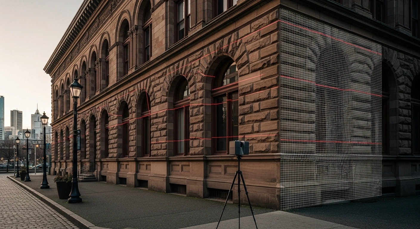
LiDAR scanning a historic Vancouver building for heritage documentation

Coordination and quality assurance (QA/QC)

In complex engineering and construction projects, verifying the “as-built” reality against the initial design intent is crucial for quality assurance.

  • clash verification: using 3D scanning to check whether two piping systems or different structural elements will clash in a given space can save untold time and money.
  • condition verification: advanced QA/QC involves verifying the condition of materials and parts. The precision of 3d scanning Vancouver technologies, capable of capturing data down to the millimeter, supports high design and construction quality works.

The role of software: interior designer tools and drafting

While the scanner captures the data, the specialized software turns it into a functional asset. Modern workflows rely heavily on platforms like AutoCAD and BIM solutions.

  • CAD drafting: AutoCAD remains an industry standard for drafting, allowing specialists to create precise, detailed drawings essential for construction documentation and ensuring unique measurements are properly represented.
  • intelligent BIM: leading 3D laser scanning services utilize BIM solutions to create models that integrate seamlessly with design software. These intelligent models are crucial interior designer tools because they allow for precise visualization and modification of the space.

The future of measurement: embracing 3d scanning Vancouver

The move from manual measurement to digital reality capture is an irreversible shift driven by the economic, safety, and accuracy benefits provided by modern 3D laser scanning services.

Efficiency and safety gains

The traditional approach to measuring a large building could take days or weeks of manual labor. Utilizing 3d scanning Vancouver technology significantly optimizes the process:

  • quick turnaround: the process is optimized for time-sensitive projects, providing quick delivery of data and models without compromising quality. Some providers even offer virtual tours and accurate floor plans within 48 hours.
  • reduced rework: by minimizing measurement errors, clients experience less rework and smoother planning, contributing to possible on-time project deadlines.
  • sustainability: enhanced accuracy improves resource use and reduces material waste, supporting sustainable construction techniques.

Furthermore, by reducing the need for ground personnel in complex or dangerous areas, 3D scanning minimizes site dangers, contributing significantly to project safety.

Finding reliable 3D laser scanning services

For homeowners, interior designers, contractors, and real estate agents, choosing a reliable partner for 3D laser scanning services is paramount to project success. When evaluating providers in the home renovation Greater Vancouver area, look for:

  • advanced technology: firms should employ state-of-the-art 3D scanning tools and leading BIM/CAD software to capture intricate details precisely.
  • expertise in BIM/CAD: skilled specialists who are proficient in converting complex point cloud data into accurate, editable models ready for architectural or construction documentation.
  • customized deliverables: services should be tailored to specific architectural or commercial requirements, whether you need accurate floor plans, full BIM models, or only real estate floor plans and virtual tours.
  • local experience: providers serving the Metro Vancouver area, including Richmond, Surrey, Burnaby, and Coquitlam, often have local expertise essential for understanding municipal requirements for building permit drawings.

Conclusion: the foundation of confidence

From the rudimentary tape measure to the transformative power of 3d scanning Vancouver, the tools available for generating as-built measurements have evolved dramatically. For any professional undertaking renovation planning—whether an interior designer tools specialist refining a residential layout or a contractor seeking precise data for contractor estimates—high-precision documentation is the key to minimizing risk and achieving efficiency.

By utilizing advanced 3D laser scanning services, professionals in Greater Vancouver home renovation can secure highly accurate floor plans and comprehensive construction documentation. This digital foundation is essential for producing reliable building permit drawings and marketable real estate floor plans, ensuring that every project, from small condos to large commercial facilities, starts and finishes with confidence and accuracy. When embarking on your next project, remember the motto: “Measure Once, Build for a Lifetime”.

Book Measurements Get a Quote